| BRITT TONY RAY & WF |
| BRITT GLADYS MARIE |
|
| 14676 NC HWY 72 E |
|
| ORRUM , NC 28369-8942 |
|
| Property
Location Address |
|
| Parcel
Ref No. |
03090101002 |
| PIN |
|
| Account
No. |
1156812 |
| Tax
District |
BRITTS FIRE |
| Land
Use Code |
D-71 |
| Land
Use Desc |
MOBILE HOME W/LAND |
| Subdiv
Code |
|
| Subdiv
Desc |
|
| Neighborhood |
03018 |
|
| Legal
Desc |
LT S/S SR 2220 |
| |
|
| Deed
Bk/Pg |
01888 / 0280 |
| Plat
Bk/Pg |
/ |
| |
Sales
Information |
| Grantor |
SMITH ROBERT & WF LINDA |
| |
|
| Sold
Date |
2013-01-28 |
| Sold
Amount $ |
22,000 |
|
| Market Value $ |
39,100 |
Market
Value - Land and all permanent improvements,
if any, effective January 1, 2010, date
of County’s most recent General Reappraisal
|
|
| Assessed Value $ |
39,100 |
If
Assessed Value not equal Market Value then
subject parcel designated as a special
class -agricultural, horticultural, or
forestland and thereby eligible for taxation
on basis of Present-Use and/or reduction
from a formal appeal procedure
|
|
| Map Acres |
0.58 |
| Tax District Note |
|
| Present-Use Info |
|
|
| (1st
Major Improvement on Subject
Parcel) |
| Year
Built |
1998 |
| Built
Use/Style |
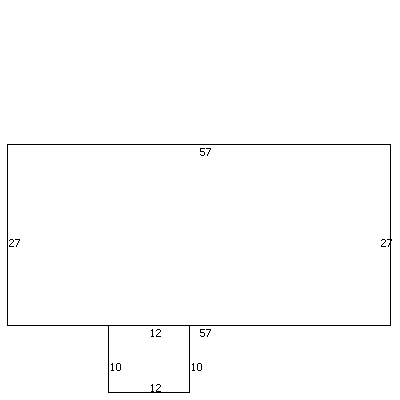
MOBILE HOME (DOUBLE WIDE) |
| Current
Use |
C / |
| * Percent
Complete |
100 |
| Heated
Area (S/F) |
1,188 |
| ** Bathroom(s) |
1 Full Bath(s) 0 Half Bath(s) |
| ** Bedroom(s) |
3 |
| Fireplace
(Y/N) |
Y |
| Basement
(Y/N) |
N |
| Attached
Garage (Y/N) |
N |
| *** Multiple
Improvements |
001 |
*
Note - As of January 1
*
* Note - Bathroom(s), Bedroom(s), shown for description
only
* * * Note - If multiple improvements equal “MLT” then
parcel includes additional major improvements |
|
| Improvement
Valuation (1st
Major Improvement on Subject Parcel) |
* Improvement
Market Value $ |
** Improvement
Assessed Value $ |
31,100 |
31,100 |
*
Note - Market Value effective Date equal January
1, 2010, date of County’s most recent General
Reappraisal
** Note - If Assessed Value not equal Market Value
then variance resulting from formal appeal procedure |
|
| Land
Value Detail (Effective Date January 1, 2010,
date of County’s most recent General Reappraisal) |
Land Market Value (LMV) $ |
Land Present-Use Value (PUV)
$ ** |
Land Total Assessed Value
$ |
8,000 |
8,000 |
8,000 |
| **
Note: If PUV equal LMV then parcel has
not qualified for present use program |
|
|